Phone: 033 3544 7145
Email: contact@unitedexploration.co.in
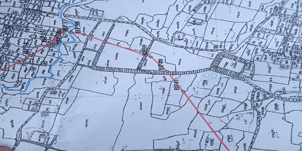
Regional desktop studies and ground truthing through remote sensing in GIS platform to:
And other thematic maps as will be required by client.